Benidorm is on Spain's Costa Blanca, on the Mediterranean in the province of Alicante (Valencian Community). It sits at 38.534° N, 0.131° W, 37 km north-east of Alicante city and 106 km south of Valencia in a straight line. This page puts it on the map, then shows every hotel, the areas and the 3D map.
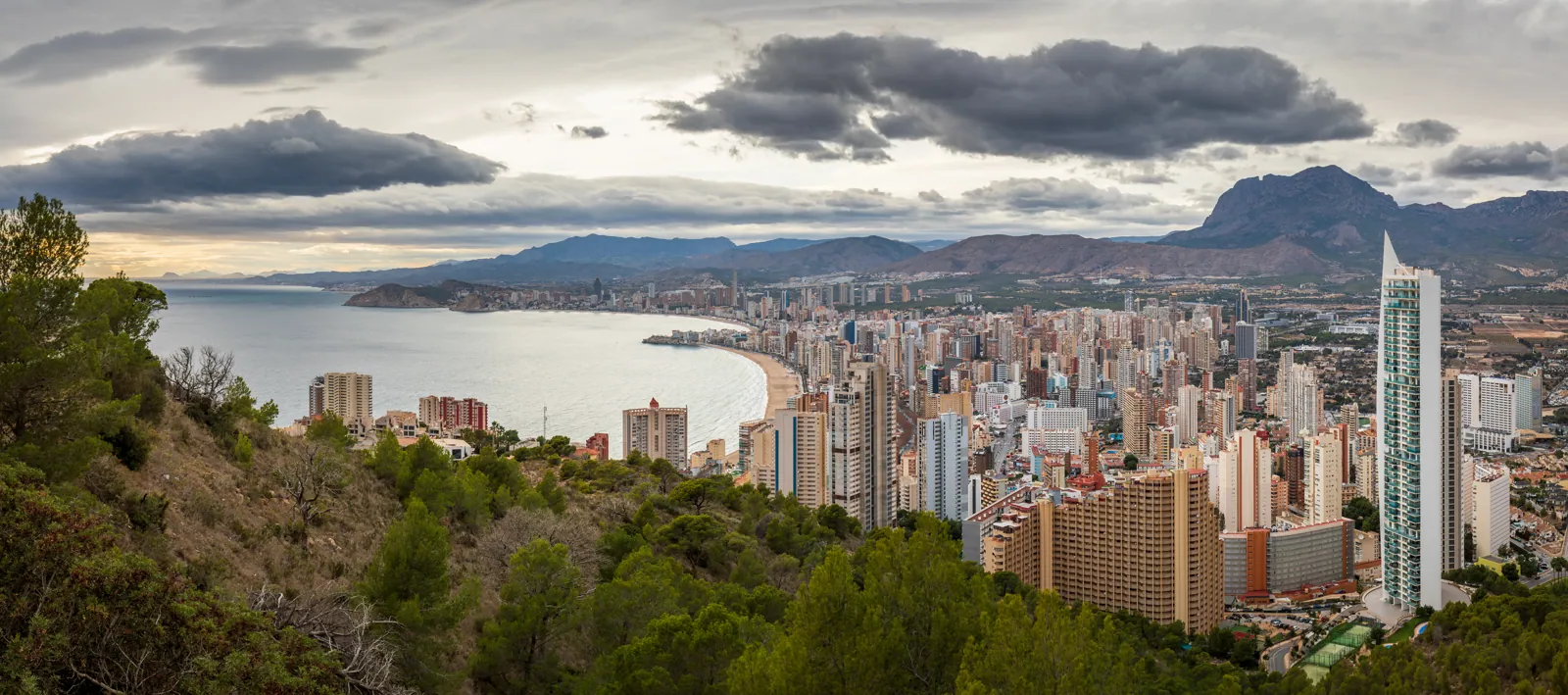
Benidorm skyline and Poniente bay from the Mirador de la CruzThe whole bay at a glance from the Mirador de la Cruz: Poniente on the left, Levante on the right
38.534° Nlatitude (Wikidata)
44 kmto Alicante city by road
63 kmto Alicante airport by road
204hotels on the map below
Costa Blanca
Province of Alicante
Valencian Community
6 areas
3D map
Where is Benidorm on the map?
From Benidorm to
Straight line
By road
Drive (no traffic)
Alicante
37 km
44 km
0 h 43 min
Alicante airport (ALC)
47 km
63 km
1 h 09 min
Murcia
107 km
124 km
1 h 30 min
Valencia
106 km
142 km
1 h 44 min
Madrid
371 km
461 km
5 h 06 min
Barcelona
373 km
500 km
5 h 35 min
Málaga
428 km
521 km
5 h 59 min
London
1443 km
—
—
Coordinates: Wikidata (Benidorm Q487981 and each city), airport from OurAirports. Road distance and time: OSRM route planner on OpenStreetMap data, no traffic, checked 20 Oct 2026. Straight lines are our great-circle calculation. Flying in? See flying to Benidorm and Alicante airport to Benidorm.
Benidorm hotels map
All 204 hotels, hostels and aparthotels we hold for Benidorm and La Cala, from the Valencian tourism register and OpenStreetMap. Tap a pin for the stars and rooms; 68 link to our hotel guide.
Counts from the data behind our 3D map: hotels, hostels and aparthotels (Valencian tourism register + OpenStreetMap), licensed holiday flats (Valencian tourist-flat register, 14 Oct 2026), places to eat and drink mapped on OpenStreetMap. Areas are our own boundaries.
The headland between the two beaches, where Benidorm began as a fishing village. White lanes climb to the blue-domed church of San Jaime and Santa Ana and the Balcón del Mediterráneo lookout. Calle Santo Domingo and the streets around it are the tapas quarter.
The longer, calmer beach west of the Old Town, about 3 km, popular with Spanish families. Its curving, colour-tiled promenade is an architecture landmark in its own right. Best end of town for sunsets.
The far east end of Levante, under the Serra Gelada. Home of the Strip: British bars, tribute acts and late nights, with big family hotels on the hill behind.
Tall sea cliffs, pine scrub and coastal paths east of town. The walk out to the old watchtowers gives the best view back over Benidorm. Take water: there is little shade.
The rock in the bay is part of the Serra Gelada marine park. Boats run from Benidorm port; people go for the snorkelling and the view back at the skyline.
Benidorm.co.uk is an independent guide. Hotel and tour links are affiliate links: we earn a commission if you book, at no extra cost to you, and it never changes what we recommend. Prices change; each table shows the date we checked it.